
Fort Bridger topographic map
Interactive map
Click on the map to display elevation.
About this map
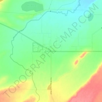
Name: Fort Bridger topographic map, elevation, terrain.
Location: Fort Bridger, Uinta County, Wyoming, USA (41.29662 -110.40433 41.33662 -110.36433)
Average elevation: 2,043 m
Minimum elevation: 2,010 m
Maximum elevation: 2,093 m