
Thank you for supporting this site ❤️
Make a donation
Make a donation
Yukon Lake topographic map
Click on the map to display elevation.
Thank you for supporting this site ❤️
Make a donation
Make a donation
About this map
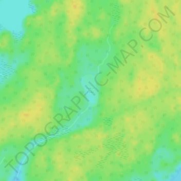
Name: Yukon Lake topographic map, elevation, terrain.
Location: Yukon Lake, Unorganized Division No. 21, Manitoba, Canada (54.83935 -99.61906 54.84421 -99.61479)
Average elevation: 288 m
Minimum elevation: 275 m
Maximum elevation: 297 m
Thank you for supporting this site ❤️
Make a donation
Make a donation
Other topographic maps
Click on a map to view its topography, its elevation and its terrain.