
河坑 topographic map
Interactive map
Click on the map to display elevation.
About this map
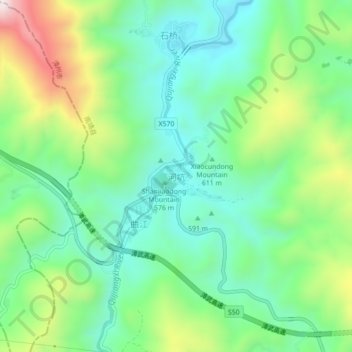
Name: 河坑 topographic map, elevation, terrain.
Location: 河坑, 南靖县, 漳州市, 福建省, 中国 (24.63102 117.03317 24.67102 117.07317)
Average elevation: 654 m
Minimum elevation: 450 m
Maximum elevation: 1,093 m