
河口镇 topographic map
Interactive map
Click on the map to display elevation.
About this map
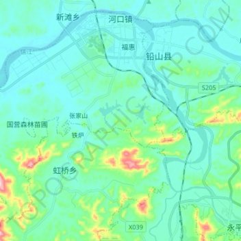
Name: 河口镇 topographic map, elevation, terrain.
Location: 河口镇, 铅山县, 上饶市, 江西省, 中国 (28.21561 117.60208 28.32176 117.73486)
Average elevation: 90 m
Minimum elevation: 44 m
Maximum elevation: 330 m
Other topographic maps
Click on a map to view its topography, its elevation and its terrain.