
马尔 topographic map
Interactive map
Click on the map to display elevation.
About this map
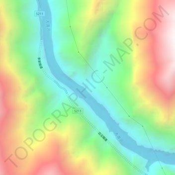
Name: 马尔 topographic map, elevation, terrain.
Location: 马尔, 格宗镇, 丹巴县, 甘孜藏族自治州, 四川省, 626300, 中国 (30.73509 101.96765 30.77509 102.00765)
Average elevation: 2,460 m
Minimum elevation: 1,786 m
Maximum elevation: 3,475 m