
Potsdamer Platz topographic map
Interactive map
Click on the map to display elevation.
About this map
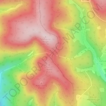
Name: Potsdamer Platz topographic map, elevation, terrain.
Location: Potsdamer Platz, Vesser, Suhl, Thuringia, 98528, Germany (50.58892 10.76137 50.60892 10.78137)
Average elevation: 750 m
Minimum elevation: 547 m
Maximum elevation: 878 m