
CHIKUNI topographic map
Interactive map
Click on the map to display elevation.
About this map
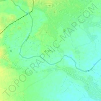
Name: CHIKUNI topographic map, elevation, terrain.
Location: CHIKUNI, Salima, Central Region, Malawi (-13.82937 34.44888 -13.78937 34.48888)
Average elevation: 498 m
Minimum elevation: 490 m
Maximum elevation: 507 m