
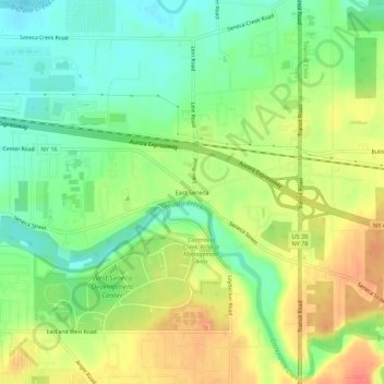
East Seneca topographic map
Interactive map
Click on the map to display elevation.
About this map
Name: East Seneca topographic map, elevation, terrain.
Average elevation: 215 m
Minimum elevation: 191 m
Maximum elevation: 243 m
Other topographic maps
Click on a map to view its topography, its elevation and its terrain.
Ebenezer
United States > New York > Erie County > Town of West Seneca
Ebenezer, Town of West Seneca, Erie County, New York, 14224, United States
Average elevation: 201 m
Gardenville
United States > New York > Erie County > Town of West Seneca
Gardenville, Town of West Seneca, Erie County, New York, 14227, United States
Average elevation: 192 m
New Ebenezer
United States > New York > Erie County > Town of West Seneca
New Ebenezer, Town of West Seneca, Erie County, New York, 14227, United States
Average elevation: 196 m