
Thank you for supporting this site ❤️
Make a donation
Make a donation
Pine Lakes topographic map
Click on the map to display elevation.
Thank you for supporting this site ❤️
Make a donation
Make a donation
About this map
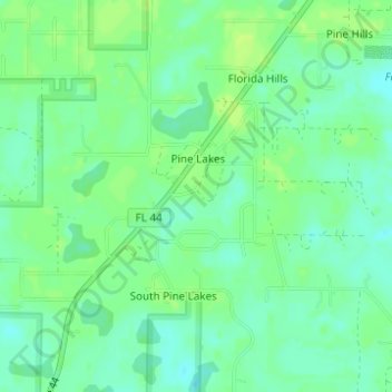
Name: Pine Lakes topographic map, elevation, terrain.
Location: Pine Lakes, Lake County, Florida, United States (28.92740 -81.44409 28.94964 -81.41695)
Average elevation: 14 m
Minimum elevation: 7 m
Maximum elevation: 20 m
Thank you for supporting this site ❤️
Make a donation
Make a donation