
Winesap topographic map
Interactive map
Click on the map to display elevation.
About this map
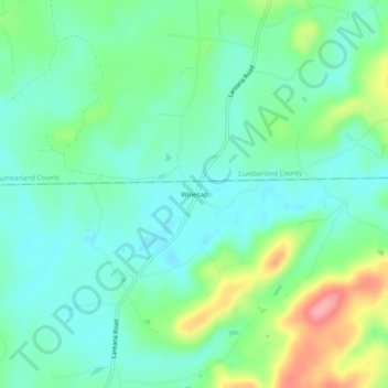
Name: Winesap topographic map, elevation, terrain.
Location: Winesap, Bledsoe County, Tennessee, United States (35.74812 -85.18552 35.78812 -85.14552)
Average elevation: 531 m
Minimum elevation: 499 m
Maximum elevation: 613 m