
Yuen Chau topographic map
Interactive map
Click on the map to display elevation.
About this map
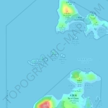
Name: Yuen Chau topographic map, elevation, terrain.
Location: Yuen Chau, Tung Wan Mei, Islands District, Hong Kong, PRC (22.17274 113.90395 22.17487 113.90591)
Average elevation: 5 m
Minimum elevation: -1 m
Maximum elevation: 133 m