
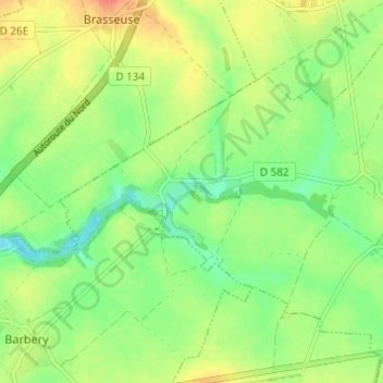
Le Prieuré topographic map
Interactive map
Click on the map to display elevation.
About this map
Name: Le Prieuré topographic map, elevation, terrain.
Average elevation: 91 m
Minimum elevation: 70 m
Maximum elevation: 115 m
Other topographic maps
Click on a map to view its topography, its elevation and its terrain.
Chamicy
France > Hauts-de-France > Oise > Rully
Chamicy, Rully, Senlis, Oise, Hauts-de-France, France métropolitaine, 60810, France
Average elevation: 93 m