
Bang Khae District topographic map
Interactive map
Click on the map to display elevation.
About this map
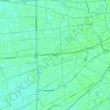
Name: Bang Khae District topographic map, elevation, terrain.
Location: Bang Khae District, Bangkok, Krathum Lom, 10160, Thailand (13.66801 100.35264 13.75391 100.42781)
Average elevation: 5 m
Minimum elevation: 1 m
Maximum elevation: 8 m