
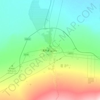
若羌县 topographic map
Interactive map
Click on the map to display elevation.
About this map
Name: 若羌县 topographic map, elevation, terrain.
Location: 若羌县, 巴音郭楞蒙古自治州, Xinjiang, Cina (38.86334 88.00580 39.18334 88.32580)
Average elevation: 898 m
Minimum elevation: 810 m
Maximum elevation: 1,148 m