
North Cleveland topographic map
Interactive map
Click on the map to display elevation.
About this map
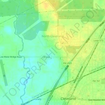
Name: North Cleveland topographic map, elevation, terrain.
Location: North Cleveland, Liberty County, Texas, United States (30.33930 -95.11088 30.37418 -95.09001)
Average elevation: 47 m
Minimum elevation: 35 m
Maximum elevation: 58 m