
Thank you for supporting this site ❤️
Make a donation
Make a donation
Punta Gorda topographic map
Click on the map to display elevation.
Thank you for supporting this site ❤️
Make a donation
Make a donation
About this map
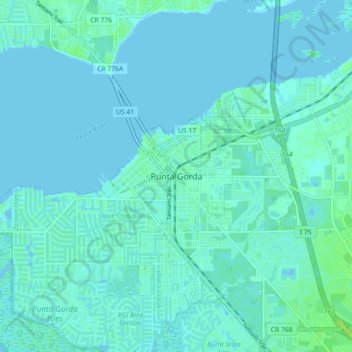
Name: Punta Gorda topographic map, elevation, terrain.
Location: Punta Gorda, Charlotte County, Florida, 33950, United States (26.88978 -82.08537 26.96978 -82.00537)
Average elevation: 2 m
Minimum elevation: -2 m
Maximum elevation: 12 m
Thank you for supporting this site ❤️
Make a donation
Make a donation