
榆中县 topographic map
Interactive map
Click on the map to display elevation.
About this map
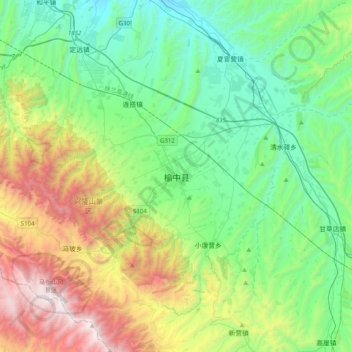
Name: 榆中县 topographic map, elevation, terrain.
Location: 榆中县, 城关镇, 榆中县, 兰州市, 甘肃省, 中国 (35.68754 103.95288 36.00754 104.27288)
Average elevation: 2,213 m
Minimum elevation: 1,617 m
Maximum elevation: 3,676 m
Other topographic maps
Click on a map to view its topography, its elevation and its terrain.