
Bir Ghbalou topographic map
Interactive map
Click on the map to display elevation.
About this map
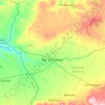
Name: Bir Ghbalou topographic map, elevation, terrain.
Location: Bir Ghbalou, Daïra Bir Ghbalou, Bouira, Algérie (36.22043 3.51543 36.31910 3.64048)
Average elevation: 666 m
Minimum elevation: 541 m
Maximum elevation: 831 m