
堰头村 topographic map
Interactive map
Click on the map to display elevation.
About this map
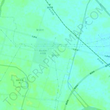
Name: 堰头村 topographic map, elevation, terrain.
Location: 堰头村, 宿迁市, 沭阳县, 江苏省, 中国 (34.15145 118.68018 34.19145 118.72018)
Average elevation: 10 m
Minimum elevation: 6 m
Maximum elevation: 15 m