
Spring Gap topographic map
Interactive map
Click on the map to display elevation.
About this map
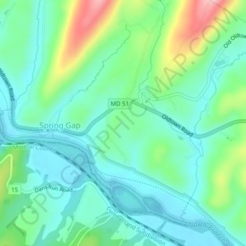
Name: Spring Gap topographic map, elevation, terrain.
Location: Spring Gap, Allegany County, Maryland, United States (39.55729 -78.71906 39.57384 -78.69521)
Average elevation: 210 m
Minimum elevation: 165 m
Maximum elevation: 332 m