
Thank you for supporting this site ❤️
Make a donation
Make a donation
Ijere-Agelette topographic map
Click on the map to display elevation.
Thank you for supporting this site ❤️
Make a donation
Make a donation
About this map
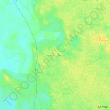
Name: Ijere-Agelette topographic map, elevation, terrain.
Location: Ijere-Agelette, Obafemi Owode, Ogun State, 110105, Nigeria (6.77665 3.38325 6.81665 3.42325)
Average elevation: 16 m
Minimum elevation: 3 m
Maximum elevation: 26 m
Thank you for supporting this site ❤️
Make a donation
Make a donation