
Isla de Torretes topographic map
Interactive map
Click on the map to display elevation.
About this map
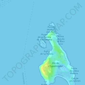
Name: Isla de Torretes topographic map, elevation, terrain.
Location: Isla de Torretes, Formentera, Islas Baleares, España (38.79134 1.41675 38.79505 1.42008)
Average elevation: 1 m
Minimum elevation: -2 m
Maximum elevation: 19 m
Other topographic maps
Click on a map to view its topography, its elevation and its terrain.
Platja de Migjorn
España > Islas Baleares > Formentera
Platja de Migjorn, Formentera, Islas Baleares, España
Average elevation: 15 m