
Disley topographic map
Click on the map to display elevation.
About this map
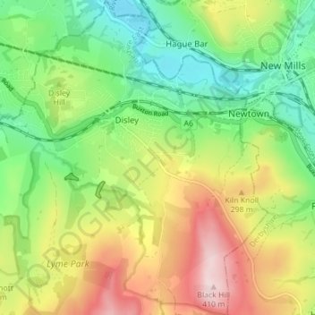
Name: Disley topographic map, elevation, terrain.
Location: Disley, Cheshire East, England, United Kingdom (53.33240 -2.06101 53.37409 -2.00466)
Average elevation: 229 m
Minimum elevation: 103 m
Maximum elevation: 411 m
Other topographic maps
Click on a map to view its topography, its elevation and its terrain.