
Thank you for supporting this site ❤️
Make a donation
Make a donation
Lac Larivée topographic map
Click on the map to display elevation.
Thank you for supporting this site ❤️
Make a donation
Make a donation
About this map
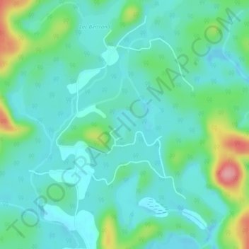
Name: Lac Larivée topographic map, elevation, terrain.
Location: Lac Larivée, Bowman, Papineau, Outaouais, Québec, Canada (45.96388 -75.62981 45.96700 -75.62634)
Average elevation: 228 m
Minimum elevation: 200 m
Maximum elevation: 319 m
Thank you for supporting this site ❤️
Make a donation
Make a donation
Other topographic maps
Click on a map to view its topography, its elevation and its terrain.