
Chilla topographic map
Interactive map
Click on the map to display elevation.
About this map
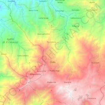
Name: Chilla topographic map, elevation, terrain.
Location: Chilla, Cantón Chilla, El Oro, 070113, Ecuador (-3.54736 -79.73989 -3.32956 -79.53828)
Average elevation: 1,997 m
Minimum elevation: 255 m
Maximum elevation: 3,885 m