
当曲卡镇 topographic map
Interactive map
Click on the map to display elevation.
About this map
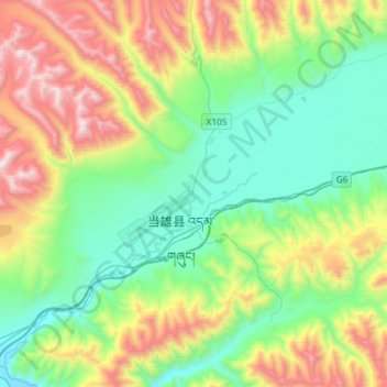
Name: 当曲卡镇 topographic map, elevation, terrain.
Location: 当曲卡镇, 当雄县, 拉萨市, 西藏自治区, 中国 (30.37638 90.87667 30.62859 91.13913)
Average elevation: 4,710 m
Minimum elevation: 4,190 m
Maximum elevation: 5,824 m
Other topographic maps
Click on a map to view its topography, its elevation and its terrain.