
Thank you for supporting this site ❤️
Make a donation
Make a donation
Nellor Pond topographic map
Click on the map to display elevation.
Thank you for supporting this site ❤️
Make a donation
Make a donation
About this map
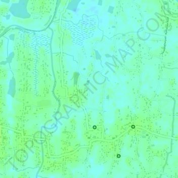
Name: Nellor Pond topographic map, elevation, terrain.
Location: Nellor Pond, Chengannur, Alappuzha District, Kerala, India (9.31568 76.55786 9.31578 76.55790)
Average elevation: 6 m
Minimum elevation: 0 m
Maximum elevation: 10 m
Thank you for supporting this site ❤️
Make a donation
Make a donation
Other topographic maps
Click on a map to view its topography, its elevation and its terrain.