
Segunda Usina topographic map
Interactive map
Click on the map to display elevation.
About this map
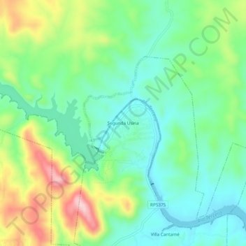
Name: Segunda Usina topographic map, elevation, terrain.
Average elevation: 518 m
Minimum elevation: 442 m
Maximum elevation: 675 m
Other topographic maps
Click on a map to view its topography, its elevation and its terrain.
Embalse
Argentina > Córdoba > Pedanía Cóndores
Embalse, Municipio de Embalse, Pedanía Cóndores, Departamento Calamuchita, Córdoba, X5191, Argentina
Average elevation: 537 m