
刚察县 topographic map
Interactive map
Click on the map to display elevation.
About this map
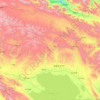
Name: 刚察县 topographic map, elevation, terrain.
Location: 刚察县, 海北藏族自治州, 青海省, 中国 (36.83850 99.29040 38.23850 100.69040)
Average elevation: 3,651 m
Minimum elevation: 2,713 m
Maximum elevation: 4,812 m
Other topographic maps
Click on a map to view its topography, its elevation and its terrain.