
Verdigris topographic map
Interactive map
Click on the map to display elevation.
About this map
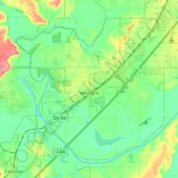
Name: Verdigris topographic map, elevation, terrain.
Location: Verdigris, Rogers County, Oklahoma, United States (36.19543 -95.74376 36.27858 -95.61490)
Average elevation: 184 m
Minimum elevation: 154 m
Maximum elevation: 256 m
Other topographic maps
Click on a map to view its topography, its elevation and its terrain.
Claremore
United States > Oklahoma > Rogers County
Claremore, Rogers County, Oklahoma, United States
Average elevation: 198 m