
Ancramdale topographic map
Interactive map
Click on the map to display elevation.
About this map
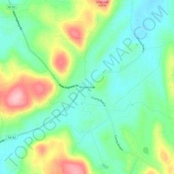
Name: Ancramdale topographic map, elevation, terrain.
Average elevation: 201 m
Minimum elevation: 148 m
Maximum elevation: 304 m
Other topographic maps
Click on a map to view its topography, its elevation and its terrain.
Boston Corner
United States > New York > Columbia County > Town of Ancram
Boston Corner, Town of Ancram, Columbia County, New York, United States
Average elevation: 316 m
Weed Mines
United States > New York > Columbia County > Town of Ancram
Weed Mines, Town of Ancram, Columbia County, New York, 12516, United States
Average elevation: 211 m