
潭头镇 topographic map
Interactive map
Click on the map to display elevation.
About this map
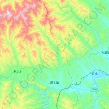
Name: 潭头镇 topographic map, elevation, terrain.
Location: 潭头镇, 栾川县, 洛阳市, 河南省, 中国 (33.94702 111.65451 34.18502 111.81200)
Average elevation: 851 m
Minimum elevation: 399 m
Maximum elevation: 1,933 m
Other topographic maps
Click on a map to view its topography, its elevation and its terrain.