
Djebel Mzita topographic map
Interactive map
Click on the map to display elevation.
About this map
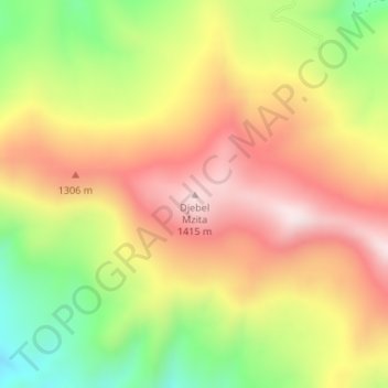
Name: Djebel Mzita topographic map, elevation, terrain.
Average elevation: 1,176 m
Minimum elevation: 878 m
Maximum elevation: 1,430 m
Other topographic maps
Click on a map to view its topography, its elevation and its terrain.
Djebel en Nador
Algérie > Bordj Bou Arreridj > Daïra Mansourah > Mansoura
Djebel en Nador, Mansoura, Daïra Mansourah, Bordj Bou Arreridj, Algérie
Average elevation: 717 m