
榆林镇 topographic map
Interactive map
Click on the map to display elevation.
About this map
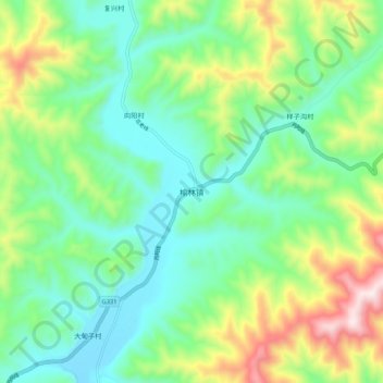
Name: 榆林镇 topographic map, elevation, terrain.
Location: 榆林镇, 集安市, 通化市, 吉林省, 中国 (40.95131 125.89955 41.03131 125.97955)
Average elevation: 339 m
Minimum elevation: 137 m
Maximum elevation: 805 m
Other topographic maps
Click on a map to view its topography, its elevation and its terrain.