
Aïn Soltane topographic map
Interactive map
Click on the map to display elevation.
About this map
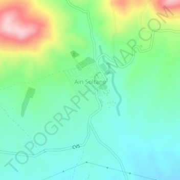
Name: Aïn Soltane topographic map, elevation, terrain.
Location: Aïn Soltane, Medjana, Daïra Medjana, Bordj Bou Arreridj, Algérie (36.12780 4.72900 36.13627 4.74004)
Average elevation: 1,052 m
Minimum elevation: 985 m
Maximum elevation: 1,213 m
Other topographic maps
Click on a map to view its topography, its elevation and its terrain.
Tafertast
Algérie > Bordj Bou Arreridj > Daïra Medjana > Medjana
Tafertast, Medjana, Daïra Medjana, Bordj Bou Arreridj, Algérie
Average elevation: 1,446 m