
东风 topographic map
Interactive map
Click on the map to display elevation.
About this map
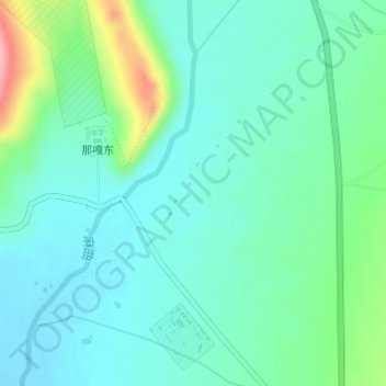
Name: 东风 topographic map, elevation, terrain.
Location: 东风, 帕里镇, 亚东县, 日喀则市, 西藏自治区, 中国 (27.73920 89.12890 27.75920 89.14890)
Average elevation: 4,282 m
Minimum elevation: 4,249 m
Maximum elevation: 4,389 m
Other topographic maps
Click on a map to view its topography, its elevation and its terrain.