
Lake Lingge topographic map
Interactive map
Click on the map to display elevation.
About this map
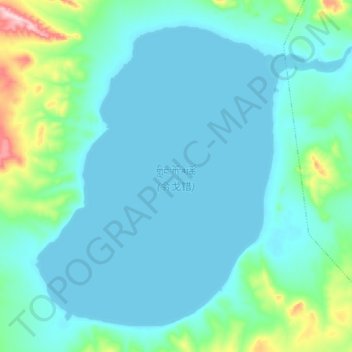
Name: Lake Lingge topographic map, elevation, terrain.
Location: Lake Lingge, Garco, Shuanghu County, Nagqu City, Tibet, China (33.78975 88.52525 33.91200 88.69775)
Average elevation: 5,096 m
Minimum elevation: 5,059 m
Maximum elevation: 5,325 m