
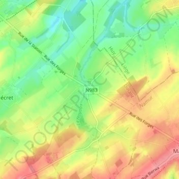
Verlée topographic map
Interactive map
Click on the map to display elevation.
About this map
Name: Verlée topographic map, elevation, terrain.
Average elevation: 286 m
Minimum elevation: 246 m
Maximum elevation: 332 m
Other topographic maps
Click on a map to view its topography, its elevation and its terrain.
Flostoy
Belgique > Province de Namur > Dinant > Havelange
Flostoy, Havelange, Dinant, Province de Namur, Wallonie, 5370, Belgique
Average elevation: 279 m