
王格庄镇 topographic map
Interactive map
Click on the map to display elevation.
About this map
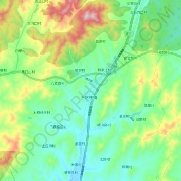
Name: 王格庄镇 topographic map, elevation, terrain.
Location: 王格庄镇, 牟平区, 烟台市, 山东省, 264100, 中国 (37.13152 121.36299 37.21152 121.44299)
Average elevation: 196 m
Minimum elevation: 68 m
Maximum elevation: 465 m