
Thank you for supporting this site ❤️
Make a donation
Make a donation
Hart County topographic map
Click on the map to display elevation.
Thank you for supporting this site ❤️
Make a donation
Make a donation
About this map
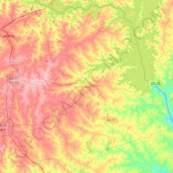
Name: Hart County topographic map, elevation, terrain.
Location: Hart County, Georgia, United States (34.21016 -83.11585 34.49376 -82.77406)
Average elevation: 225 m
Minimum elevation: 144 m
Maximum elevation: 296 m
Thank you for supporting this site ❤️
Make a donation
Make a donation
Other topographic maps
Click on a map to view its topography, its elevation and its terrain.