
Silent Grove topographic map
Interactive map
Click on the map to display elevation.
About this map
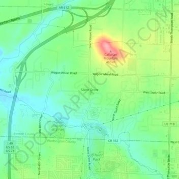
Name: Silent Grove topographic map, elevation, terrain.
Average elevation: 394 m
Minimum elevation: 357 m
Maximum elevation: 466 m
Other topographic maps
Click on a map to view its topography, its elevation and its terrain.
Lake Springdale
United States > Arkansas > Benton County > Springdale
Lake Springdale, Springdale, Benton County, Arkansas, United States
Average elevation: 392 m