
Kerrville topographic map
Interactive map
Click on the map to display elevation.
About this map
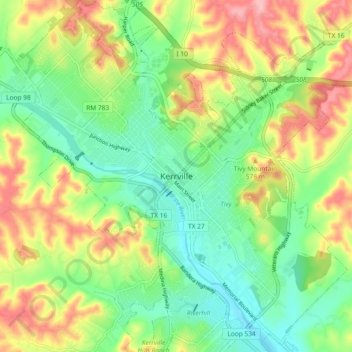
Name: Kerrville topographic map, elevation, terrain.
Location: Kerrville, Kerr County, Texas, 78029, United States (30.00847 -99.17995 30.08847 -99.09995)
Average elevation: 534 m
Minimum elevation: 478 m
Maximum elevation: 615 m