
Thank you for supporting this site ❤️
Make a donation
Make a donation
Sematan topographic map
Click on the map to display elevation.
Thank you for supporting this site ❤️
Make a donation
Make a donation
About this map
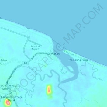
Name: Sematan topographic map, elevation, terrain.
Location: Sematan, Lundu, Kuching Division, Sarawak, Malaysia (1.76527 109.73827 1.84527 109.81827)
Average elevation: 5 m
Minimum elevation: -2 m
Maximum elevation: 146 m
Thank you for supporting this site ❤️
Make a donation
Make a donation
Other topographic maps
Click on a map to view its topography, its elevation and its terrain.