
Osdorf topographic map
Interactive map
Click on the map to display elevation.
About this map
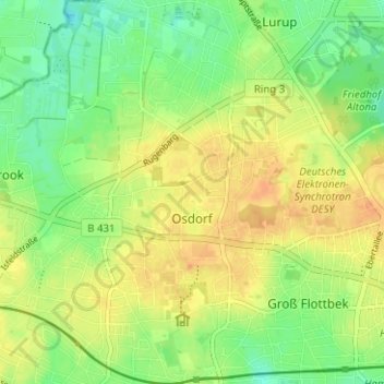
Name: Osdorf topographic map, elevation, terrain.
Location: Osdorf, Altona, Hamburg, Duitsland (53.55782 9.82667 53.59504 9.86691)
Average elevation: 32 m
Minimum elevation: 14 m
Maximum elevation: 47 m
Other topographic maps
Click on a map to view its topography, its elevation and its terrain.