
芷江县 topographic map
Interactive map
Click on the map to display elevation.
About this map
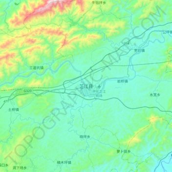
Name: 芷江县 topographic map, elevation, terrain.
Location: 芷江县, 芷江侗族自治县, 怀化市, 湖南省, 中国 (27.28673 109.52002 27.60673 109.84002)
Average elevation: 399 m
Minimum elevation: 188 m
Maximum elevation: 1,383 m
Other topographic maps
Click on a map to view its topography, its elevation and its terrain.