
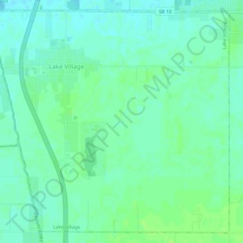
Lake Village topographic map
Interactive map
Click on the map to display elevation.
About this map
Name: Lake Village topographic map, elevation, terrain.
Location: Lake Village, Newton County, Indiana, 46349, United States (41.11556 -87.46262 41.14489 -87.42005)
Average elevation: 201 m
Minimum elevation: 196 m
Maximum elevation: 207 m
Other topographic maps
Click on a map to view its topography, its elevation and its terrain.
Perkins
United States > Indiana > Newton County
Perkins, Newton County, Indiana, United States
Average elevation: 211 m
Morocco
United States > Indiana > Newton County
Morocco, Newton County, Indiana, 47963, United States
Average elevation: 211 m
Goodland
United States > Indiana > Newton County > Goodland
Goodland, Newton County, Indiana, United States
Average elevation: 222 m
Iroquois River
United States > Indiana > Newton County
Iroquois River, Newton County, Indiana, 60970, United States
Average elevation: 201 m