
Picos topographic map
Interactive map
Click on the map to display elevation.
About this map
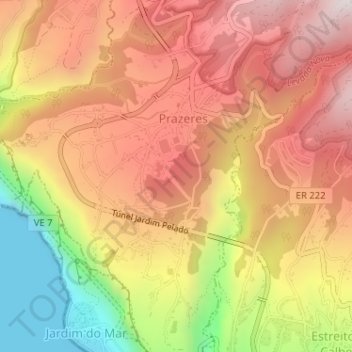
Name: Picos topographic map, elevation, terrain.
Location: Picos, Prazeres, Calheta, Madeira, 9370-648, Portugal (32.73952 -17.21294 32.75952 -17.19294)
Average elevation: 487 m
Minimum elevation: 0 m
Maximum elevation: 825 m