
Perumparai topographic map
Interactive map
Click on the map to display elevation.
About this map
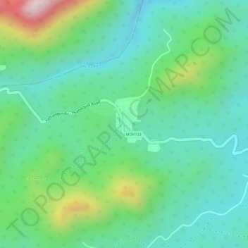
Name: Perumparai topographic map, elevation, terrain.
Location: Perumparai, Athoor, Dindigul District, Tamil Nadu, India (10.29198 77.72648 10.29851 77.73388)
Average elevation: 1,031 m
Minimum elevation: 909 m
Maximum elevation: 1,323 m