
San Rafael topographic map
Interactive map
Click on the map to display elevation.
About this map
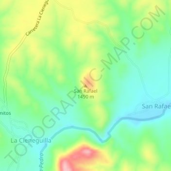
Name: San Rafael topographic map, elevation, terrain.
Location: San Rafael, La Cieneguilla, Satevó, Chihuahua, México (27.89622 -106.19154 27.89632 -106.19144)
Average elevation: 1,438 m
Minimum elevation: 1,384 m
Maximum elevation: 1,536 m