
glorieta jardines 1era secc topographic map
Interactive map
Click on the map to display elevation.
About this map
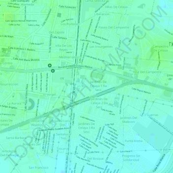
Name: glorieta jardines 1era secc topographic map, elevation, terrain.
Average elevation: 1,757 m
Minimum elevation: 1,752 m
Maximum elevation: 1,761 m
Other topographic maps
Click on a map to view its topography, its elevation and its terrain.
Celaya
México > Guanajuato > Celaya > Celaya
Celaya, Guanajuato, 38000, México
Average elevation: 1,872 m